🎉 Up to 70% Off Selected ItemsShop Sale

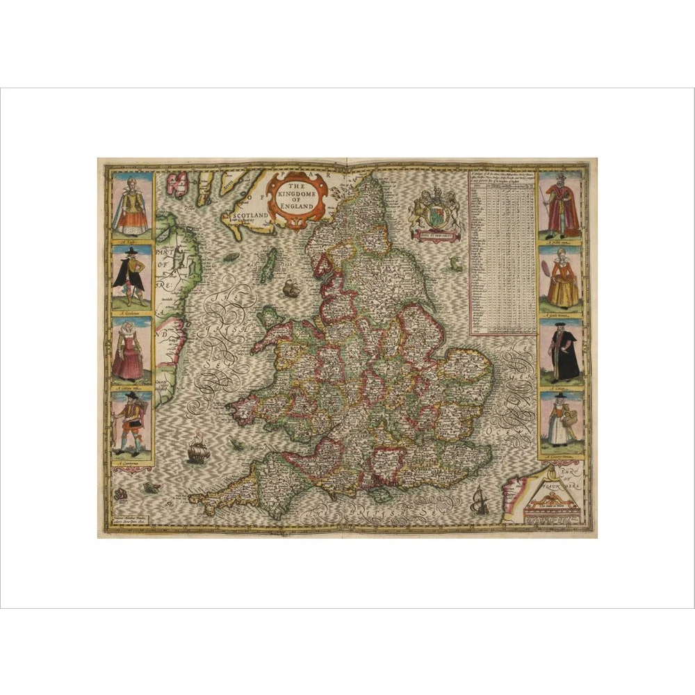
Map of the Kingdom of England print
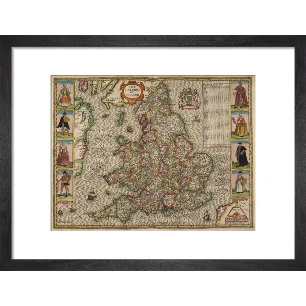
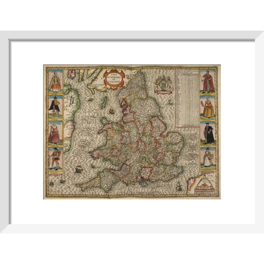
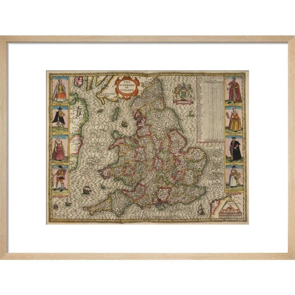
A historic map of the Kingdom of England and Wales by Christopher Saxton, Jodocus Hondius Flander caelavit, drawn in 1610. Counties, towns and cities are marked. In the sea are ships and sea monsters.
Creator: Christopher Saxton
Select Type
Select Size
Select Frame
From $11.80
Original: $33.72
-65%Map of the Kingdom of England print—
$33.72
$11.80




Description
A historic map of the Kingdom of England and Wales by Christopher Saxton, Jodocus Hondius Flander caelavit, drawn in 1610. Counties, towns and cities are marked. In the sea are ships and sea monsters.
Creator: Christopher Saxton